Veľká Fatra National Park is located in the northwestern part of central Slovakia. It extends over the territory of the historical regions of Turiec, Liptov and Pohronie, including the Municipal Forests of Banská Bystrica. Velká Fatra, as one of the most beautiful and best-preserved mountains in Slovakia, was declared a protected landscape area in 1973, covering an area of 60,600 hectares. The goal of its establishment was the protection of the largest limestone mountain range in Slovakia. In 2002, due to its natural values, it was recategorized to a higher level of nature protection – Veľká Fatra National Park.
The territory of the youngest Slovak national park, with an area of 40,371 hectares, occupies a significant part of the Veľká Fatra orographic unit. Its protective zone covers an area of 26,132 hectares. Part of its protective zone, which in the past was an integral part of Veľká Fatra, extends into the Starohorské vrchy. A small part of the territory falls into the Turčianska kotlina.
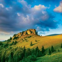
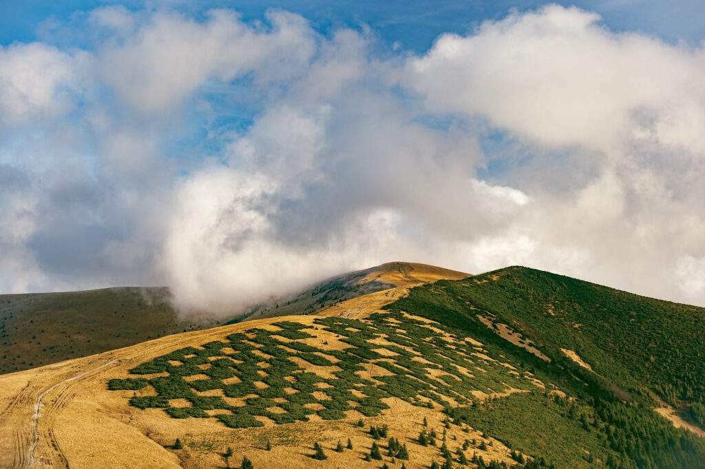
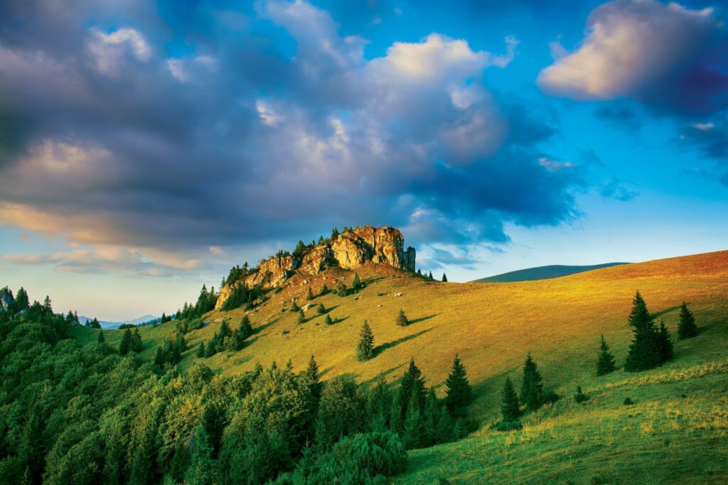
Veľká Fatra is one of our highest mountain ranges. The highest peak, Ostredok, reaches a height of 1,596 m above sea level. m. With its area of 810 km2, Veľká Fatra is also among the largest Slovak mountain massifs. Due to the varied geological bedrock, Veľká Fatra is very diverse in terms of landscape. In the western part, we can find impressive rock scenery with many magical nooks, towers, rock places, rock windows, overhangs, waterfalls and caves, which have been modeled by water in limestone and dolomites over millions of years. To this day, several dozen caves have been discovered in Veľká Fatra, many of which are known for their prehistoric settlement and rich decoration. Currently, they are important wintering grounds for bats. The only cave open to the tourist public is Harmanecká jaskyňa, which, however, lies just beyond the borders of the national park.
Krížna
Krížna (1,574 m above sea level) is the third highest peak of Velka Fatra after Ostredek and Frčkov. It lies on its main ridge. There is a circular view from the top of Krížna. The Path of SNP Heroes passes through it. Vrch Krížna is a rarity because three red tourist signs meet on it.
In the northeast, you can see the eighty kilometers distant High Tatras, and in the east the undulating Starohorské vrchy, over which the mighty Low Tatras Prašivá and Ďumbierske Low Tatras. To the right of them winds the extensive Slovak Ore Mountains, from which the typical silhouettes of well-known hills stand out: Fabova hoľa, Klenovský Vepor, Hrb s Ľubietovský Vepro, and Stolicné vrchy.
The Poľany massif is exactly in the south-eastern direction of the side stretch towards Líška. The mountain defile continues towards the west of Ostrôžka and Javorie through the nearby Kremnické hills, in which Vtáčnik and Lúčanská Malá Fatra can be seen obscurely in the background. The best part of the view is the main ridge of Veľká Fatra, behind which Veľký Choč “peeks out”.
Just before the top of Krížna, on its southern slope, there is a building with a shelter in which military communication and service facilities were located. Originally, there was also a TV transmitter with a twelve-meter tower, which can only be seen in old photos – today it no longer exists. It was the second state television transmitter with a power of 800 W after Bratislava’s Kamzík, which started its operation on August 28, 1958.
After the transmitter was built on Suchá hora in Kremnické vrchy, the transmitter on Krížná lost its purpose, its equipment was installed in the transmitter on Kráľová hoľa, and it began broadcasting on October 28, 1960. After the modernization of the broadcasting of television stations and the transition to the latest technologies, the army took over the entire Krížná area and set up a radio relay node here – a connection base for special military routing lines, a communications center for the mountain rescue service, the police force and the meteorological service.
Kráľová studňa
It is located in a magical, rather fragmented mountain environment in the south of the highest ridge part of Veľká Fatra. Strong springs in the south-western slope of Mala Krížna spring from under the coarse-grained rubble and are captured in watering holes.
In the vicinity of the King’s well, you can also find the Bystrica spring, after which the city of Banská Bystrica is named.
The rock massifs, which were raised to their current position by mountain-forming forces and reshaped geomorphological processes, together with the climatic conditions, represent the physical basis of the landscape around Kráľová studňa, near the interface of Hôľná and Bralná Fatra, which are the most prominent geomorphological sub-units of Veľká Fatra.